[Guest post by PhD candidate Sami Sofizada]
As a result of climate change, changing weather patterns in northern British Columbia may be making slopes more prone to landslides and instability, which threatens roads and infrastructure paths and residential areas on hillsides. To better understand these risks, I am developing and testing low-cost slope monitoring systems as part of my PhD research at the University of Northern British Columbia (UNBC) with the support of the Pacific Institute of Climate Solutions (PICS).
I have developed two stations as part of this work: one runs with real-time communication via cellular networks, and the other runs offline. Both stations use low-cost sensors and Arduino processors to monitor surface ground movements, with sensors bundled up in boxes and buried beneath the soil. The winter testing lets me evaluate station and sensor performance during winter storm events and changing temperature and moisture conditions. The testing phase involves assessing sensor reliability and power system dependability and data transmission stability when operating under winter conditions.
Prototypes of both stations were operated in winter 2026 to test their limits - and accuracy - in actual winter weather conditions. With snow cover, freezing temperatures, and regular periods of freezing and thawing, the slopes near campus match the environmental conditions that exist in various landslide-risk areas throughout the province. Accessible monitoring tools can improve existing hazard management systems, and keeping costs low are critical for both researchers and communities.
The results from this winter testing campaign will determine the next steps for Swift Creek active landslide site deployment in British Columbia while supporting initiatives to enhance climate resilience and mountain community hazard preparedness.
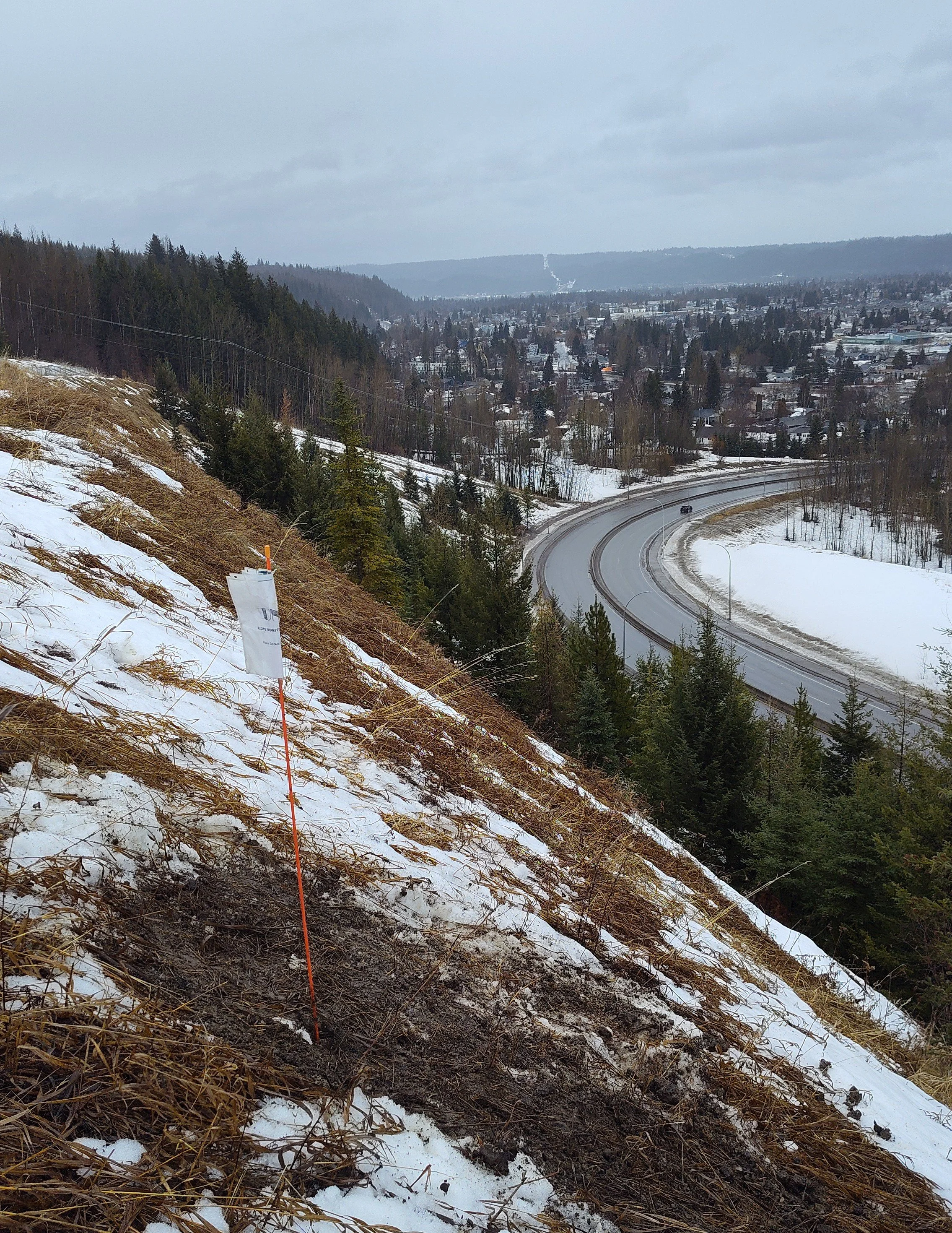
Testing the slope monitor above University Way.
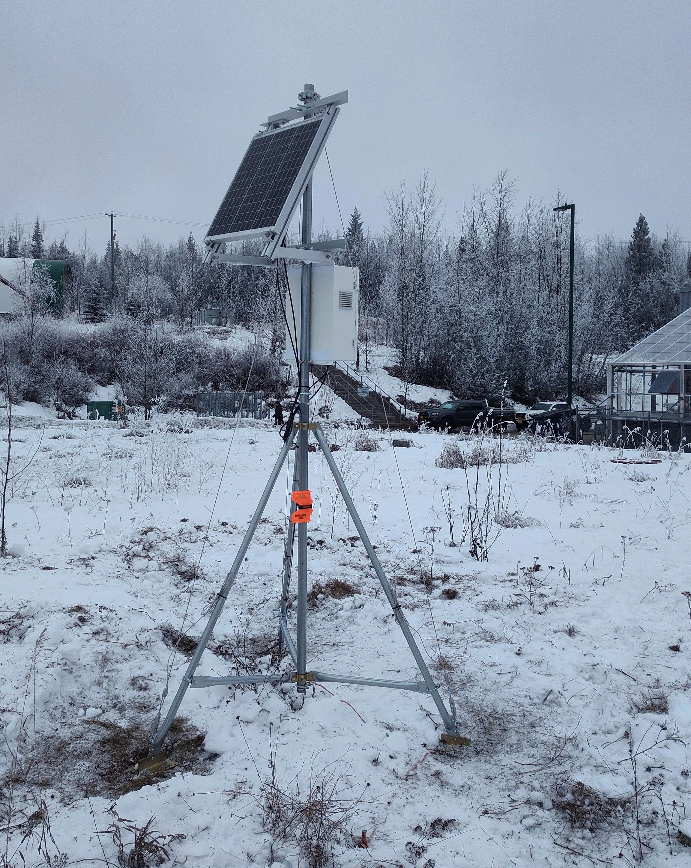
Testing the real-time device on UNBC campus.